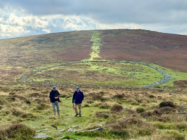
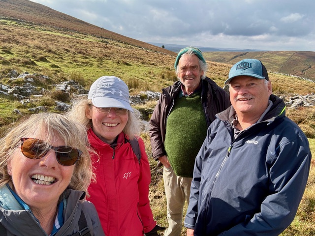
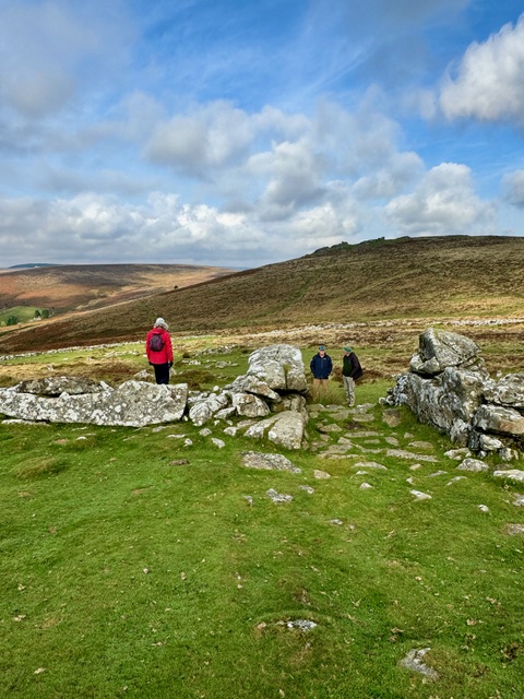
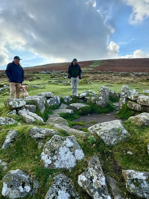
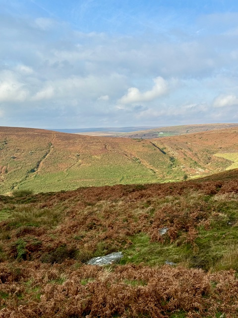
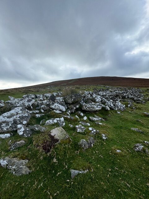
A chilly and windy day saw 4 members visit Grimspound on Dartmoor.
Grimspound is one of the best known prehistoric settlements on Dartmoor; probably dating from the late Bronze Age (about 1500-800BC)
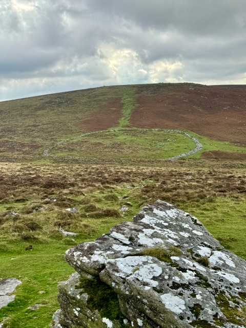
The remains of 24 houses enclosed within a stone wall and further houses outside the enclosure, lie in a fold in the hills about 450 metres above sea level, between Hookney and Hameldown tors.
The earlier Neolithic period, from about 4000BC witnessed a transition from a hunting and gathering lifestyle towards a growing reliance on farming.
By 2500BC the early farms were moving into upland areas like Dartmoor, and settled farms and field systems were becoming commonplace.
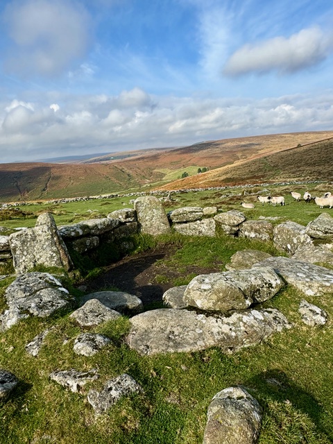
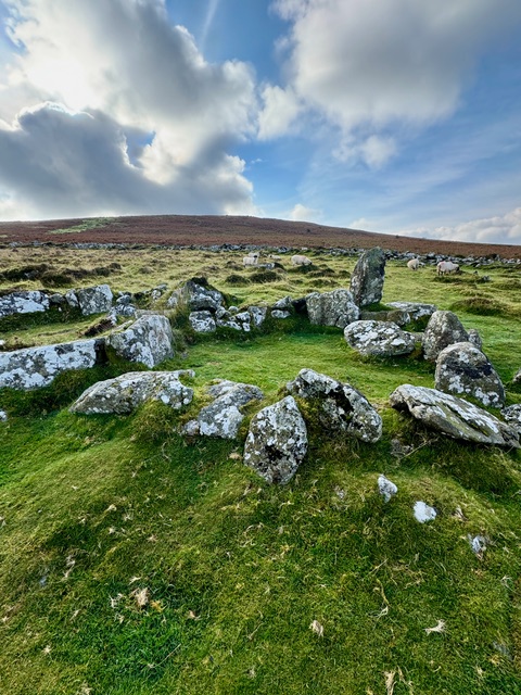
The remains of the characteristic roundhouses in which people lived can still be seen across Dartmoor. Sometimes they stand on their own, like isolated cottages today or sometimes as here, they are grouped together in sizeable villages. These settlements are a defining feature of the Dartmoor landscape.
We do not know precisely how long Grimspound was in use, but by about 1000BC the settlement pattern was changing. The people living on Dartmoor had cleared the forest, exposing the fragile moorland soil to erosion. Nutrients left the soil, reducing its fertility and the moor could no longer sustain the same level of occupation.
Grimspound was excavated at the end of the 19th century.
16 houses were excavated and numerous structures and artefacts were found including porches, paved floors, raised benches, cooking holes, charcoal, pottery and flint. The distinctive style of pottery helped to date the site to the Bronze Age, but there have been no recent excavations and no radiocarbon dating has so far taken place.
The excavators restored parts of the perimeter wall and some of the roundhouses although not very accurately.
The great boundary wall is about 150 metres in diameter. Averages 3 metres thick and stands up to 1.5 metres high. It’s faced with large slabs laid in horizontal courses, with a core of smaller stones between the two faces.
However, it seems unlikely that it was intended to be defensive. It was probably simply a barrier to keep wild animals out and farmed animals in.
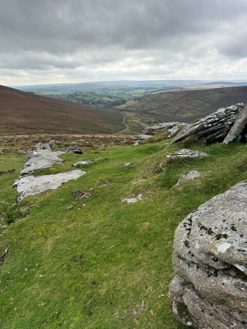
The site overlooks a valley to the north where there was open grazing land, but the original entrance was on the opposite uphill site. This imposing entrance is flanked by high walls, with a passage 1.8 metres wide, which is roughly paved. A stream running through the northern half of the enclosure would have provided an excellent supply of fresh water, and explains the settlements position.
The walls of the houses within the enclosure were probably not much higher than they are now, and covered with conical roofs of turf or thatch. A number of low rubble banks against the internal face of the enclosure wall probably formed sheep or cattle pens.
Immediately south east of the enclosure, the remains of at east nine more houses survive. All are linked to rubble banks that form part of a field system.
You can get a really good view of the site if you climb up Hookney Tor.